You are eating dinner in Shinjuku when the table starts shaking. Earthquake. How big? Do you run? Japan averages five felt earthquakes per day, so a two-week trip will probably include one or two mild tremors. But knowing when to worry and how to react is something even many Japanese cannot fully explain. Here is the essential app stack plus how to handle real scenarios.
The bottom line: install four apps — Yahoo! 防災, Safety Tips, NHK World, and Japan Travel by NAVITIME
One, Yahoo! 防災速報 (Yahoo Bousai) — Japan’s most widely used disaster app, with real-time alerts for earthquakes, tsunami, heavy rain, and typhoons. Mainly Japanese UI, but the icons are intuitive, and once configured it pushes alerts for wherever you are.
Two, Safety Tips (the official JNTO tourist app) — multilingual (English, Chinese, Korean, Japanese), simple, real-time alerts. Readable even without Japanese, a must-install for newcomers.
Three, NHK World (NHK’s international edition) — English news plus live disaster reporting. Within 30 seconds of a quake you will see epicenter, magnitude, and tsunami warning.
Four, Japan Travel by NAVITIME — not a disaster app per se, but train service suspensions after quakes or typhoons show up here in real time. Essential for rerouting.
Look at 「震度」 (shindo), not 「マグニチュード」 (magnitude)
Japan uses two scales:
One, magnitude: energy released, similar to the Richter scale (M5.0, M6.0).
Two, 震度 (shindo, intensity): actual shaking intensity at your location, levels 0 to 7. This is the number that matters to you.
Intensity readings:
Shindo 1: some people feel a faint tremor, water in a glass does not move. Shindo 2: most people feel it, glasses may sway slightly. Shindo 3: ceiling lights swing noticeably, glasses clearly move. Most tourists experience their first 「oh, an earthquake」 at this level. Shindo 4: most people startled, wall hangings may fall. Shindo 5 lower: cannot stand stably, some furniture moves — evacuate immediately. Shindo 5 upper to 7: serious damage, possible building collapse.
The first move during a quake: take cover, do not run outside
Japanese buildings meet the world’s strictest seismic codes. Staying indoors — under a desk, beside a pillar, in the bathroom — is safer than running outside, where falling objects and broken glass await.
After 5 to 10 seconds of shaking stops:
One, check yourself and your party for injuries. Two, kill the stove (if cooking) and shut off the gas. Three, open the door so a warped frame does not jam it. Four, turn on the TV, Yahoo! 防災, or NHK to check the epicenter and tsunami warnings. Five, fill the bathtub with water in case the supply gets cut.
Tsunami alert: leave the coast, get to high ground
If you are on the coast (Kamakura, Enoshima, Okinawa, Hokkaido shoreline), the moment you receive a 「津波警報 (tsunami warning)」, head uphill. A 3 to 5 meter tsunami can swallow an entire floor.
Since the 2011 disaster, coastal cities have marked 「津波避難ビル」 (tsunami evacuation buildings) — look for the blue-and-white 「避難」 sign.
Typhoons: check intensity, size, and whether it will 「直撃」 (direct hit)
Typhoon season runs July to October. Okinawa, Kyushu, and Shikoku get hit most, with occasional impact on Tokyo and Kyoto. 24 to 48 hours before landfall:
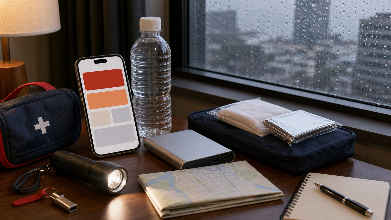
One, review your itinerary (Okinawa airports may close, Shinkansen may stop). Two, stock water and ready-to-eat food. Three, bring in anything from the balcony. Four, fully charge phones and power banks.
During the typhoon: avoid leaving the hotel. If you absolutely must go out, stay away from rivers, coastlines, and slopes — landslides are the typhoon’s deadliest weapon (the 2018 West Japan floods killed 200+, mostly from landslides).
Yahoo! 防災 alert tiers:
One, 注意報 (advisory): stay alert, action not necessarily required. Two, 警報 (warning): serious — prepare to evacuate. Three, 特別警報 (special warning): extreme — evacuate immediately. A once-in-decades event.
Standard 3.11-trained evacuation points: schools and parks
Every district in Japan has a 「指定避難所」 (shitei hinanjo, designated evacuation site) — typically a school gym or large park. Search 「指定避難所」 in Google Maps to find nearby locations. Safety Tips also has an evacuation map built in.
Cell network down during a disaster? Use LINE or WhatsApp
In the first 1 to 2 hours after a major disaster, mobile networks jam (tens of millions of Tokyo residents trying to check in at once).
Backups:
One, 00000JAPAN free Wi-Fi: all konbini, train stations, and major hotels automatically open free disaster Wi-Fi.
Two, messaging apps: LINE, WhatsApp, and Signal beat phone calls (data packets get through).
Three, pre-agreed meet-up point: agree with your travel companions before the trip — 「after a disaster, meet at [station name or hotel name]」.
Pro tip: download offline maps before you go
Google Maps lets you save offline maps for your travel region in advance (search the area in-app → three-dot menu → download offline map). Your last line of defense when networks go down. MAPS.ME is an excellent backup.
Pro tip two: JR West and East emergency-delay notifications
After a quake or typhoon, JR immediately suspends Shinkansen service for track inspection — delays can stretch 2 to 12 hours. The JR-EAST Train Info app (English) pushes status updates for all JR lines in your region.
After the March 16, 2024 Fukushima earthquake, Tohoku Shinkansen was down for a week and tourists were stranded in Tokyo en masse — with the apps installed, you could have rerouted to a southbound bus 24 hours earlier.
First move after landing in Japan: install the four apps, enable location, set up a family chat group. Then enjoy your takoyaki in peace. Japan is an earthquake-prone country, but also one of the best in the world at handling them.
Frequently Asked Questions
Which disaster app should I install for Japan?
Install Safety tips first if you do not read Japanese, then add NHK WORLD-JAPAN and transport apps. Yahoo! Disaster Alert is useful but mainly Japanese.
For earthquakes in Japan, should I watch shindo or magnitude?
Travelers should focus on shindo because it reflects shaking at your location. Magnitude is total earthquake energy, not local shaking.
What should I do first during an earthquake in Japan?
Protect your head, move away from glass and shelves, and get under a table if possible. After shaking stops, check exits, companions, and official information.
What should I do if Japan issues a tsunami warning?
Leave the coast immediately and move to higher ground or a designated evacuation place. Do not return after the first wave unless officials say it is safe.